CoursesItineraries
Course 7: Namparang Trail Yeosu Section and Coastal Walking Trip
- Stops
- 9
- Straight-line total
- 40.9 km
- Start → end
- Yeongchwisan Mountain → Nangdo Port
How to get to Course 7: Namparang Trail Yeosu Section and Coastal Walking Trip
The longest leg is from Soho Dongdong Bridge to Nangdo Island, 17.6 km in a straight line.
9 stops in order
-
1Yeongchwisan Mountainnext stop 1.3 km

Source: Korea Tourism Organization · KOGL Type 1 Mountains · Parks · Mural Village · Experiences · Jungheung-dong
- Hours
- Always open
- Closed days
- Open all year
- Fee
- Free
-
2Heungguksa Templenext stop 5.5 km
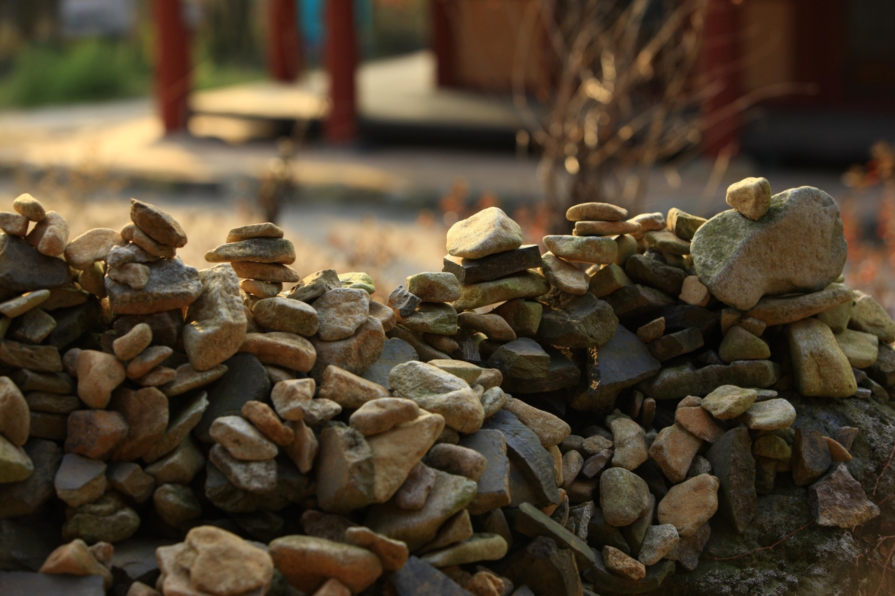
Source: Korea Tourism Organization · KOGL Type 1 Temples · Cultural Heritage · Museums · Jungheung-dong
- Hours
- Always open
- Closed days
- Open all year
- Fee
- Not listed
-
3Mipyeong Bonghwasan Forest Bathing Areanext stop 5.6 km

Source: Korea Tourism Organization · KOGL Type 3 (no changes allowed) Mountains · Parks · Forests · Coastal Trails · Mipyeong-dong
- Hours
- Always open
- Closed days
- Open all year
- Fee
- Free
Visit information for Mipyeong Bonghwasan Forest Bathing Area
-
4Odongdo Islandnext stop 2.3 km

Source: Korea Tourism Organization · KOGL Type 1 Islands · Sea · Coastal Scenery
- Hours
- Odongdo Always openCamellia train more
- Closed days
- Open all year
- Fee
- Free
-
5Goso-dong Mural Villagenext stop 480 m

Source: Korea Tourism Organization · KOGL Type 1 Mountains · Parks · Mural Village · Experiences · Jonghwa-dong
- Hours
- Always open
- Closed days
- Open all year
- Fee
- Free
-
6Yi Sunsin Squarenext stop 7.8 km

Source: Korea Tourism Organization · KOGL Type 1 Temples · Cultural Heritage · Museums · Jungang-dong
- Hours
- Always open
- Closed days
- Open all year
- Fee
- Free
-
7Soho Dongdong Bridgenext stop 17.6 km
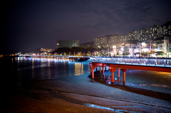
Source: Korea Tourism Organization · KOGL Type 3 (no changes allowed) Islands · Sea · Coastal Scenery · Soho-dong
- Hours
- Always open
- Closed days
- Open all year
- Fee
- Not listed
-
8Nangdo Islandnext stop 440 m

Source: Korea Tourism Organization · KOGL Type 1 Islands · Sea · Coastal Scenery · Nangdo-ri
- Hours
- Always open
- Closed days
- Open all year
- Fee
- Free
-

Source: Korea Tourism Organization · KOGL Type 3 (no changes allowed) Islands · Sea · Coastal Scenery · Hwajeong-myeon
- Hours
- Always open
- Closed days
- Not listed
- Fee
- Not listed
Getting around without a car
Public transport between stops Google Maps works out the route and the time
-
2 Heungguksa Temple → 3 Mipyeong Bonghwasan Forest Bathing Area
straight-line 5.5 km
-
3 Mipyeong Bonghwasan Forest Bathing Area → 4 Odongdo Island
straight-line 5.6 km
-
6 Yi Sunsin Square → 7 Soho Dongdong Bridge
straight-line 7.8 km
-
7 Soho Dongdong Bridge → 8 Nangdo Island
straight-line 17.6 km
-
1 Yeongchwisan Mountain → 2 Heungguksa Temple
straight-line 1.3 km
-
4 Odongdo Island → 5 Goso-dong Mural Village
straight-line 2.3 km
-
5 Goso-dong Mural Village → 6 Yi Sunsin Square
straight-line 480 m
-
8 Nangdo Island → 9 Nangdo Port
straight-line 440 m
Not listed: travel time per leg, total time
Directions: Google Maps
Course 7: Namparang Trail Yeosu Section and Coastal Walking Trip: closed days of the stops by weekday
| Place | Mon | Tue | Wed | Thu | Fri | Sat | Sun | Closed days as listed |
|---|---|---|---|---|---|---|---|---|
| Yeongchwisan Mountain | Open all year | |||||||
| Heungguksa Temple | Open all year | |||||||
| Mipyeong Bonghwasan Forest Bathing Area | Open all year | |||||||
| Odongdo Island | Open all year | |||||||
| Goso-dong Mural Village | Open all year | |||||||
| Yi Sunsin Square | Open all year | |||||||
| Soho Dongdong Bridge | Open all year | |||||||
| Nangdo Island | Open all year | |||||||
| Nangdo Port | Not listed | Not listed | Not listed | Not listed | Not listed | Not listed | Not listed | Not listed |
Closed every weekBlank: not listed as a closed dayNo closed-day data, or the sources differ
Sources
- Course source
- Distances
- 8 of 8 legs measured as straight lines between Korea Tourism Organization TourAPI coordinates